
Orbital Commons
The active satellite catalog as one navigable field: browser-worker propagation, instanced rendering, selection, orbit trace, and ground trace.
LEO / MEO / GEO
Semantic scale — changes information depth, not geographic map scale.
Observe, compare, and reason through space.
Observe changing systems and representations through declared sources, models, projections, time windows, and spatial extents.
The active satellite catalog as one navigable field: browser-worker propagation, instanced rendering, selection, orbit trace, and ground trace.
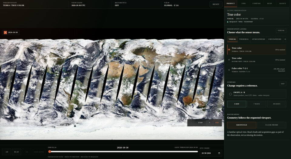
Recent Earth observations become a temporal sequence rather than a fixed basemap: the date is part of the image, not metadata outside it.
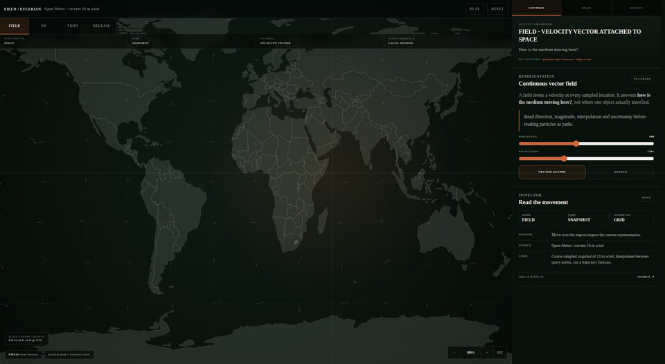
One workbench compares continuous vector fields, aggregate origin–destination networks, timestamped trajectories, and Lagrangian releases without pretending they are the same geometry.
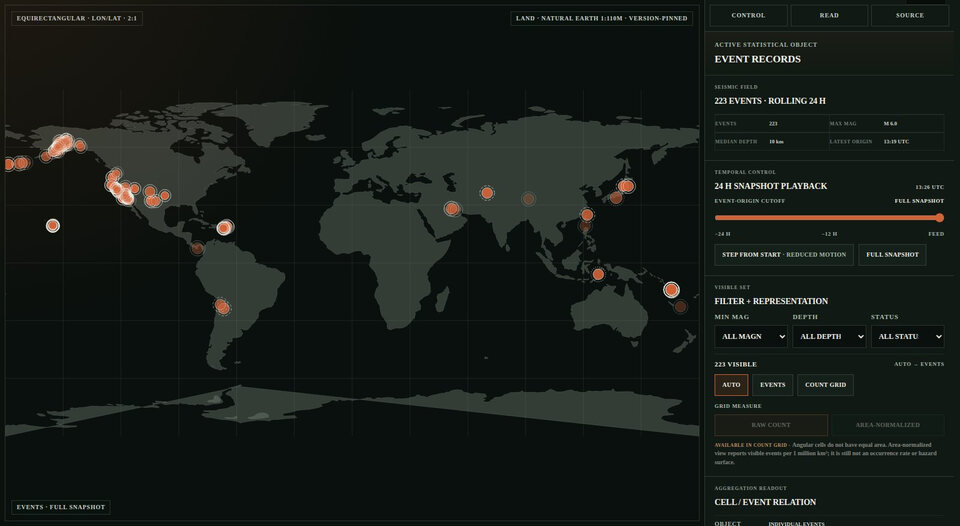
A live earthquake field rendered on a self-owned world view. Magnitude, depth, and recency become a changing pulse rather than a generic alert map.
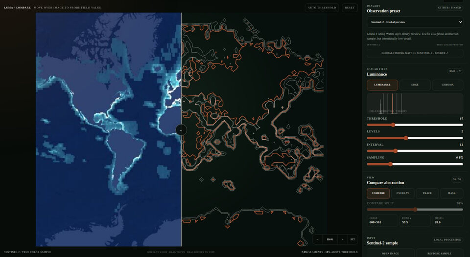
A small figure engine that turns a field-like image into contours, regions, and traces. It asks when an image begins to act like a map.
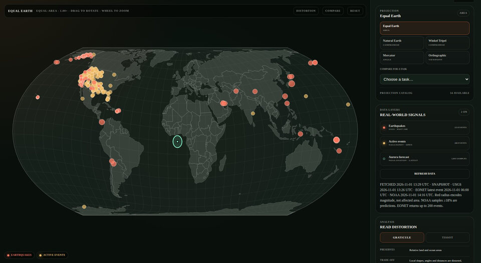
A world field treated as authored geometry rather than a borrowed basemap. Projection changes the visible relation; geography begins where the choice becomes explicit.
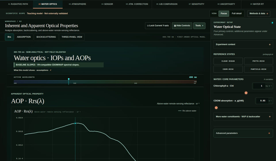
An interactive water-colour theory instrument. Change water and atmospheric state, sample a synthetic TOA signal, then invert it with deliberately right or wrong aerosol assumptions.
Practice location, boundary, adjacency, and path reasoning through direct geographic feedback.
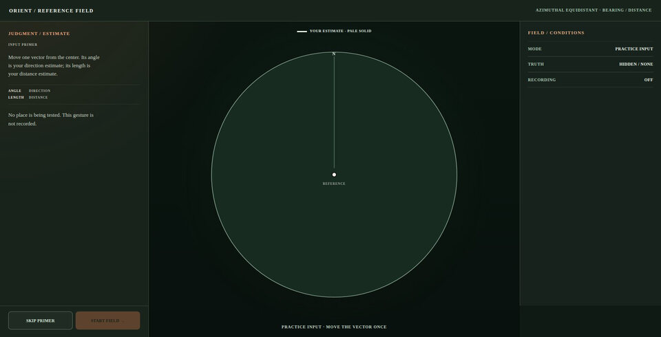
A location exercise that returns error as distance and direction. The aim is not recall alone, but calibration: where did your mental map bend?
Find a named country from its position among neighbors. Shape matters, but relation to the surrounding field matters more.
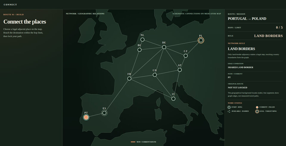
Cross the world by shared land borders. A route is not a line drawn over space; it is a sequence allowed by topology.
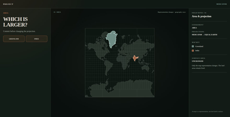
Predict first, then drag the representation and watch the same geography change appearance.
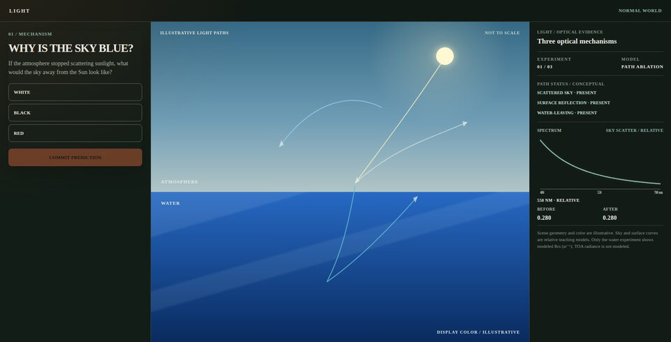
Break the light path. Remove scattering, backscatter, or reflection and observe what remains.
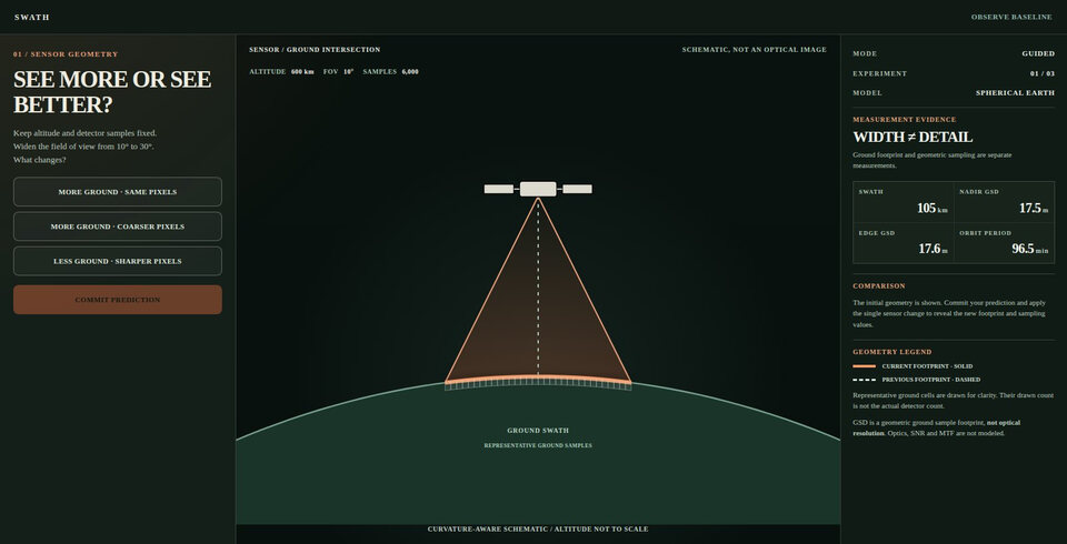
Change altitude, field of view, and detector sampling. See why wider coverage does not come free.
Every instrument declares what it can see — and what it cannot.
 GEOSPATIAL DEBUGGINGGeoDebug
Finds geospatial bugs ordinary tests miss.
GITHUB ↗ DATA DISCOVERYSTAC Scout
Finds and verifies the right geospatial data before you compute.
GITHUB ↗ RESEARCH REVIEWNature Reviewer Skills
Simulates Nature-style peer review before submission.
GITHUB ↗ SCIENTIFIC PLOTTINGIPCC WGI Scientific PlottingDistills IPCC AR6 WGI visual grammar into reproducible scientific plots.
GITHUB ↗ ENGINEERING QUALITYengineering-quality
Makes coding agents prove their code changes.
GITHUB ↗ AGENT WORKFLOWSmodern-software-codex-skillsPorts modern software engineering workflows into reusable Codex skills.
GITHUB ↗ KNOWLEDGE FEEDSawesome-tech-feeds
Curates high-signal tech feeds as a Git-native registry.
GITHUB ↗ LEARNING SYSTEMSPersonal Learning Map
Maps long-horizon capabilities, learning depth, practice, and evidence.
GITHUB ↗