Qiusheng Wu and the Open-Source Route into Geospatial Computing
A personal note on the educator whose open-source teaching made GIS and remote sensing feel learnable by building, not by memorising software menus.
- Reference
- notes:n11
- Published
- 2026.04.23
- Series
- note
- Source
- Source ↗
When learning a field, the scarce resource is often not material. It is a person whose way of teaching makes the subject click.
For linear algebra, many people have Gilbert Strang. For machine learning, Andrew Ng. In GIS and remote sensing, the person who has played that role for me is Qiusheng Wu.
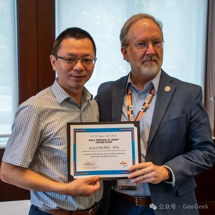
Figure 1 · Qiusheng Wu is at far left. In 2025 he received the University of Tennessee Libraries Partner Award for leading the Open Science Workshop and Symposium. The award recognizes contributions that increase the visibility of library services and advance open access and data sharing. In his remarks, Wu summarized the principle simply: open science turns knowledge into a starting point that can be shared. Image source: @giswqs on X.
You may not know his name, but if you work with Python and geospatial data you may already have used software he created: geemap, leafmap, segment-geospatial, and related projects.
Wu is an Associate Professor in the Department of Geography and Sustainability at the University of Tennessee, Knoxville, where he works on geospatial data science, remote sensing, and open-source software. Many of the Python tools that make Google Earth Engine easier to work with, or that make interactive mapping feel almost as direct as writing a notebook, come from his projects. The code is public on GitHub and available for others to use, inspect, and extend.
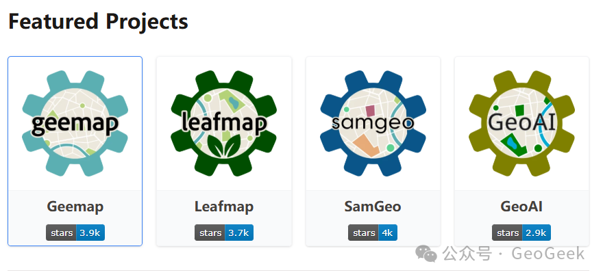
Figure 2 · Four open-source projects developed and maintained by Wu: geemap, leafmap, samgeo, and geoai. Together they cover cloud-based Earth-observation interaction, interactive mapping, intelligent segmentation of remote-sensing imagery, and GeoAI workflows. They are open and freely available, and have become part of the working infrastructure used by many students and researchers.
Make knowledge freely available to everyone. Wu's work is a practical expression of that idea. He does not only release software. Tutorials, documentation, example code, and course materials are systematically published online, and he has spent years answering questions directly in community spaces such as GitHub Discussions.
In 2025 he received the Spatial Impact Award and has been recognized as one of the geospatial community's most prolific open-source contributors. Since I first encountered GIS as an undergraduate, this has been the kind of academic practice I have wanted to emulate. The weight of an academic career is not measured only by what it publishes, but by what it leaves behind. Beyond papers and methods, knowledge can be turned into things that others can run, reproduce, learn from, and inherit. Wu's work does exactly that: it turns individual expertise into infrastructure for the next person.
His newer platform, OpenGeoPub, extends the same approach to education. It brings geospatial books, video courses, and learning bundles together in one place without a conventional subscription model. The first collection, The Open Geospatial Python Series, runs from programming fundamentals through spatial big data and GeoAI, with real datasets and reproducible code. The platform uses a pay-what-you-want model with lifetime access.
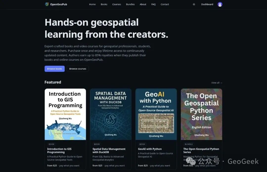
Figure 3 · OpenGeoPub, founded by Qiusheng Wu, integrates books, video courses, and hands-on exercises into a structured geospatial learning path. The platform uses a “pay what you want, lifetime access” model; creators receive 85% of royalties. Website: opengeopub.com.
At launch, Wu also released the code LAUNCH for the GeoPython bundle: Open Geospatial Python Series.
If you have spent a long time at the edge of geospatial computing without finding a teacher or route that makes the field cohere, his work is worth exploring. For some people, the decisive teacher is not the one who gives them more material, but the one who makes the structure of the field visible.